Use Caution — Tisch Mills Segment — Flooding may occur between Mill Rd. and Nuclear Rd., especially in spring or after heavy rain. A bypass is available via CTH‑B between CTH‑BB and Nuclear Rd. For maps and additional details from the Ice Age Trail Alliance, follow the link below: Details ↗
Reroute in Effect — Algoma Connecting Route Segment — A reroute is in effect on the connecting route south of Algoma. The bridge over Three Mile Creek on Longfellow Rd is closed to all travel. Bypass this closure via 9th Rd and STH‑42; note that the 10th Rd bridge is also closed. This 2.7‑mile alternate route replaces 2.8 miles of c Details ↗
Reroute in Effect — Sturgeon Bay Segment — A 0.1‑mile section of the Ice Age Trail between S Neenah Ave and W Yew St is closed indefinitely. Bypass this closure via S Neenah Ave and W Yew St. This 0.5‑mile alternate route replaces 0.5 miles of Ice Age Trail. For maps and additional details from the Ice Age Trail Alliance, Details ↗
Reroute in Effect — Monticello Segment — The Stewart Tunnel is closed indefinitely pending reconstruction. The Ice Age Trail is closed at both intersections of Tunnel Rd. Follow Tunnel Rd to bypass the closure and remain on the designated alternate route. For maps and additional details from the Ice Age Trail Alliance, Details ↗
Reroute in Effect — Hartman Creek Segment — A reroute is in effect between the Emmons Creek Fishery Area and Hartman Creek State Park due to forestry operations. Follow posted signage to remain on the designated reroute. For maps and additional details from the Ice Age Trail Alliance, follow the link below: Details ↗
Reroute in Effect — Cross Plains Segment — A reroute is in effect along the Cross Plains Segment from Sherwood Forest Ln to Park St. Eastbound hikers should continue southwest on CTH‑KP, head east on USH‑14, and turn north on Market St. The 0.8‑mile bypass replaces 0.5 miles of connecting route and Ice Age Trail. For maps Details ↗
Source: US National Park Service, refreshed several times a day.
介绍
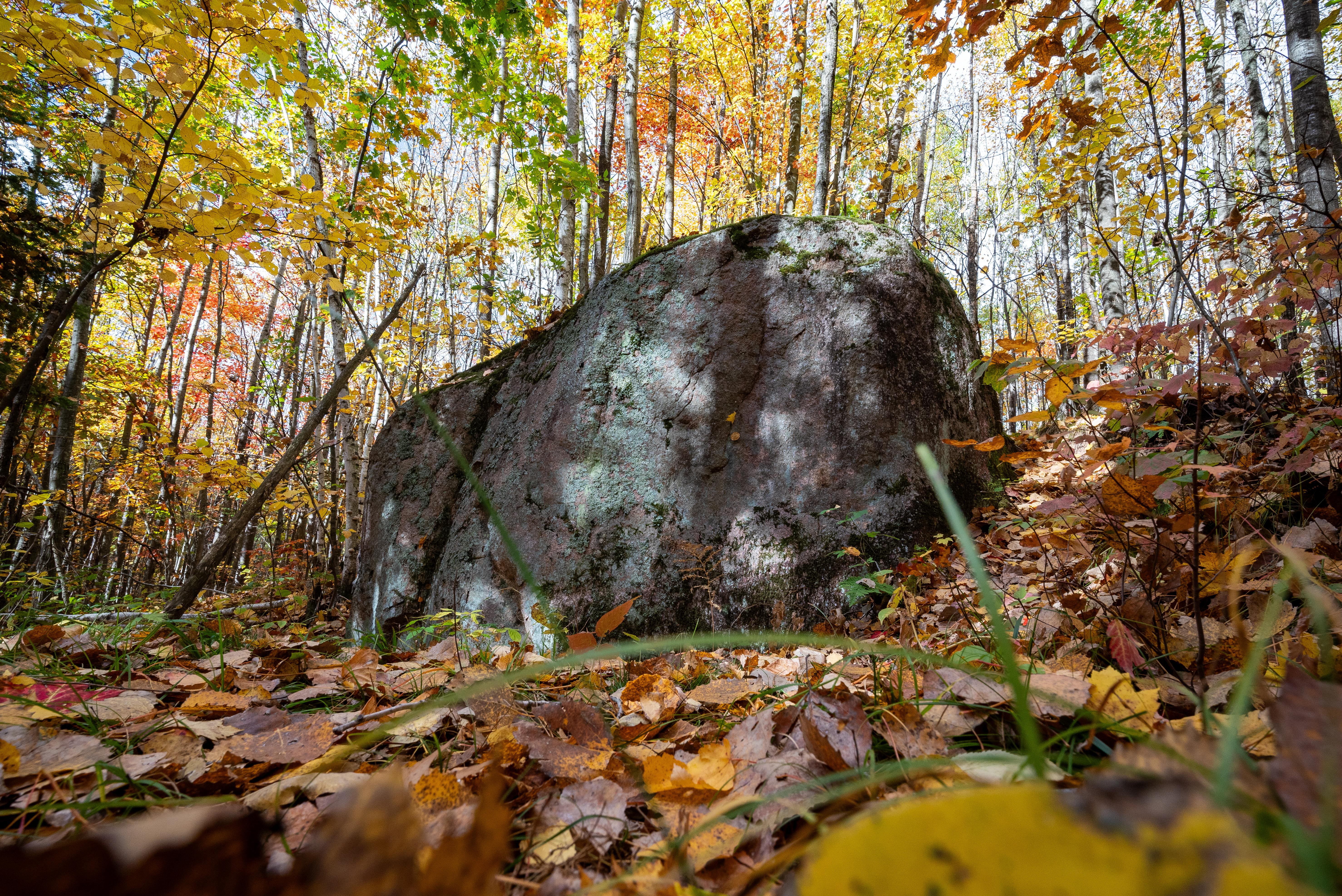
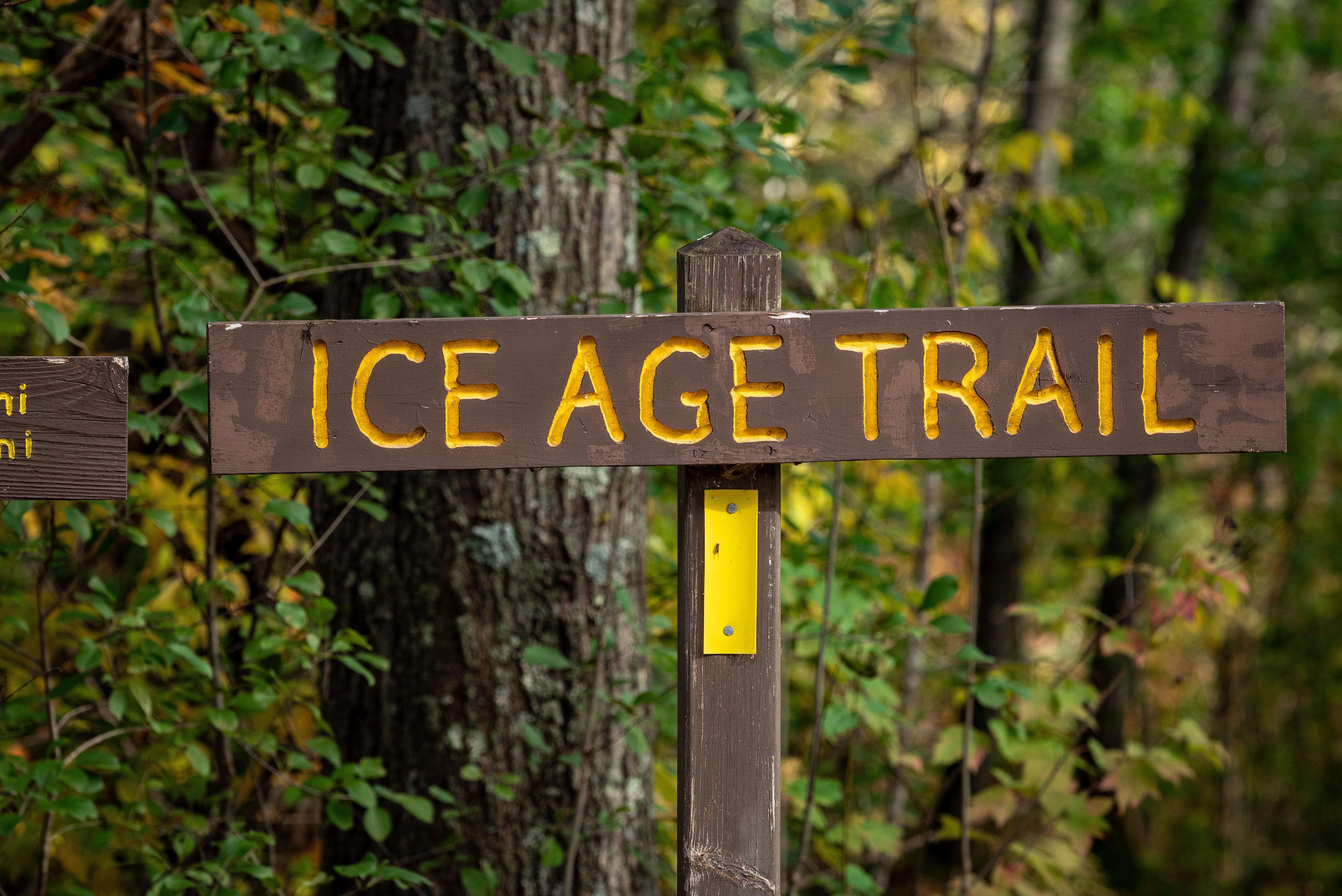
冰河时代国家风景小径是一条超过1200英里长的远足小径,横跨威斯康星州。它展示了最后一个冰河时代冰川塑造的地质特征,为该地区的自然历史提供了独特的视角。
旅行者们来到这里体验多样的风景,从森林到草原,享受户外的宁静。这条小径在远足者、自然爱好者和寻求宁静自然环境的人们中非常受欢迎。
图片集
须知事项
值得知道
照片: NPS Photo / Billy Flynn