Cape Hatteras National Seashore
The Cape Point and Frisco campgrounds, located on Hatteras Island, are closed until further notice.
Public access is closed for 300 feet north and south of a groin repair project site in Buxton, as well as the adjacent ocean area to the east. Surfers, swimmers, and all other recreationists should stay at least 300 feet from the southernmost groin area for safety purposes. Details
The beachfront in front of Buxton Village is temporarily closed due to the presence of threatened oceanfront structures and Dare County's beach nourishment project. Renourished sections of beach will open to the public immediately after construction activities conclude in the are Details
The Billy Mitchell Airport (HSE) is closed to accommodate a runway pavement rehabilitation project. The project will provide full resurfacing of paved areas, new reflective paint, and new tie-downs and anchors, improving visitor safety and enhancing the overall visitor experience
The beach from the northern boundary of Rodanthe to the pier in Rodanthe is closed to all access as multiple threatened oceanfront structures pose risks to public safety. Details
Straight from the US National Park Service, refreshed several times a day.
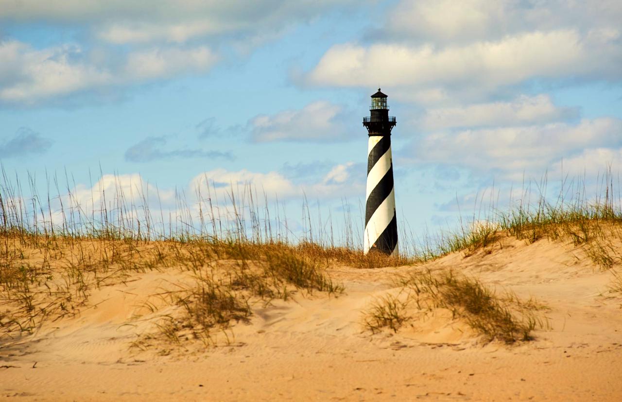
Cape Hatteras National Seashore is a protected area along the Outer Banks of North Carolina, known for its unique coastal ecosystems and historic lighthouses. Visitors come to enjoy the natural beauty, engage in water sports, and learn about the area's maritime history.
Read more
The seashore is also a site of reflection, as it commemorates the lives lost in shipwrecks along the treacherous waters of the Graveyard of the Atlantic. The iconic Cape Hatteras Lighthouse, standing at 210 feet, is a significant landmark, drawing many to climb its 257 steps for a view of the coastline.
In pictures
Live now
Practical
At a glance
- Opened
- 1953
- Open
- Daily open 24 hours
- Accessibility
- some areas wheelchair accessible
- Opening hours
- Daily open 24 hours
- Phone
- 2524732111
- Price
- Free
- Website
- www.nps.gov
Things to know
Photo: NPS Photo