 1
1
Gulf Islands National Seashore
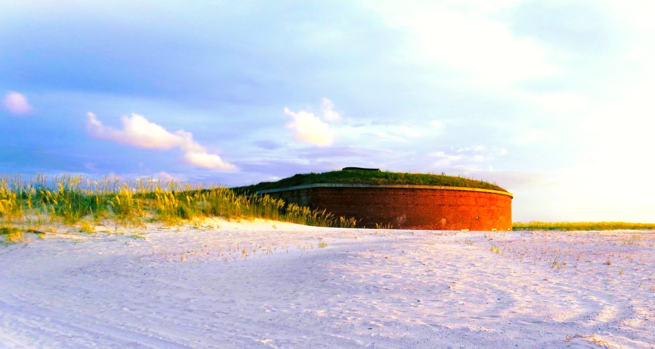
The protected end of the coast: Fort Pickens, the Santa Rosa Area and Opal Beach, miles of dunes with nothing built on them. The guide lists the entry fee.

The Santa Rosa Area of Gulf Islands National Seashore, between Navarre and Pensacola Beach. Photo: NPS / Doggrell
Sugar-white sand, emerald water and beach towns without a high-rise. Why the Panhandle beats the famous Florida for a road trip, and how to drive it.
When people picture a Florida road trip they see the neon of Miami, the theme parks of Orlando or the last mile marker in Key West. Those are fine trips. They also come with heavy traffic, crowded beaches and the prices to match.
If what you want is a coastal escape with sugar-white sand, calm turquoise water and small towns where you can park without a plan, head the other way. North, then west, to the Florida Panhandle.
The stretch of Gulf Coast between Pensacola and Panama City Beach, with the Emerald Coast and Scenic Highway 30A at its heart, still feels like the Florida of thirty years ago.
 The beach at Seaside, Walton County. Photo: Michael Gäbler, Wikimedia Commons (CC BY 3.0)
A Panhandle road trip is best driven slowly. The whole coast is barely three hours end to end, which is exactly the point: the days go to the beaches, not the car.
 Seaside, where The Truman Show was filmed. Photo: I'll never grow up, Wikimedia Commons (CC BY 2.0)
Spring and autumn are the Panhandle's seasons: March to May and September to October bring warm water, mild days and the lowest prices. Summer is hot and humid with an afternoon storm most days, and June to November is hurricane season, so watch the forecast and buy flexible tickets. March brings spring break to Panama City Beach; the 30A towns stay calm.
One more thing to know: the beaches fly flags. Green is calm, yellow is caution, red means strong rip currents and a double red flag means the water is closed. The Gulf looks gentle. On a red-flag day it is not.
Kiomigo tip: put the beach towns on the map first and let the planner fill in the drives between them. Every leg shows its time, so you see that Pensacola to Seaside is an hour and a half and Seaside to Apalachicola two hours more, and you keep the days on the sand where they belong. The planner compares hotel prices around every stop, which on 30A is where the real difference lies.
Skip the usual tourist traps and find the quiet side of the Sunshine State.
Plan your Florida Panhandle road trip on Kiomigo, free. Drop your beach stops onto the map, set the nights, and compare the hotels at every stop from inside the route. The guides and routes below are a good place to start.
1
The protected end of the coast: Fort Pickens, the Santa Rosa Area and Opal Beach, miles of dunes with nothing built on them. The guide lists the entry fee.
 2
2
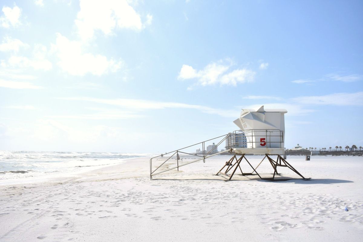
The western gateway. The airport is twenty minutes away, the beach is on a barrier island, and the fish tacos are better than they need to be.
Harbour town, fishing fleet, the greenest water on the coast. Busy in summer, quiet and cheap in October.
The eastern gateway with its own airport. Twenty-seven miles of beach, a state park at each end, and the oyster towns an hour and a half further east.
Nashville to New Orleans. From the French Quarter, Pensacola is three hours east: the Panhandle makes a natural beach ending for this one.
 6
6
The classic Florida, if you want to compare. Miami, the parks, the Atlantic side.
The other Florida escape: one road to the end of the Keys, a very different kind of quiet.
Ready to turn this into your own trip?
Plan it with Kiomigo →