Chesapeake & Ohio Canal National Historical Park
Multiple items are closed due to hazardous conditions or maintenance. See below for more details. Details
DC Water is managing a sanitary sewer overflow from the Potomac Interceptor near Lock 10. Anyone with questions or in need of support can reach out to DC Water’s 24-Hour Command Center at (202) 612-3400 or visit https://www.dcwater.com/about-dc-water/media/potomac-interceptor-col Details
Visitors are restricted to the designated trails within the Gold Mine Tract in the Great Falls area. This location is generally defined as that area bordered by MacArthur Boulevard and Berma Road and depicted on the Great Falls Maryland Hiking Map. Details
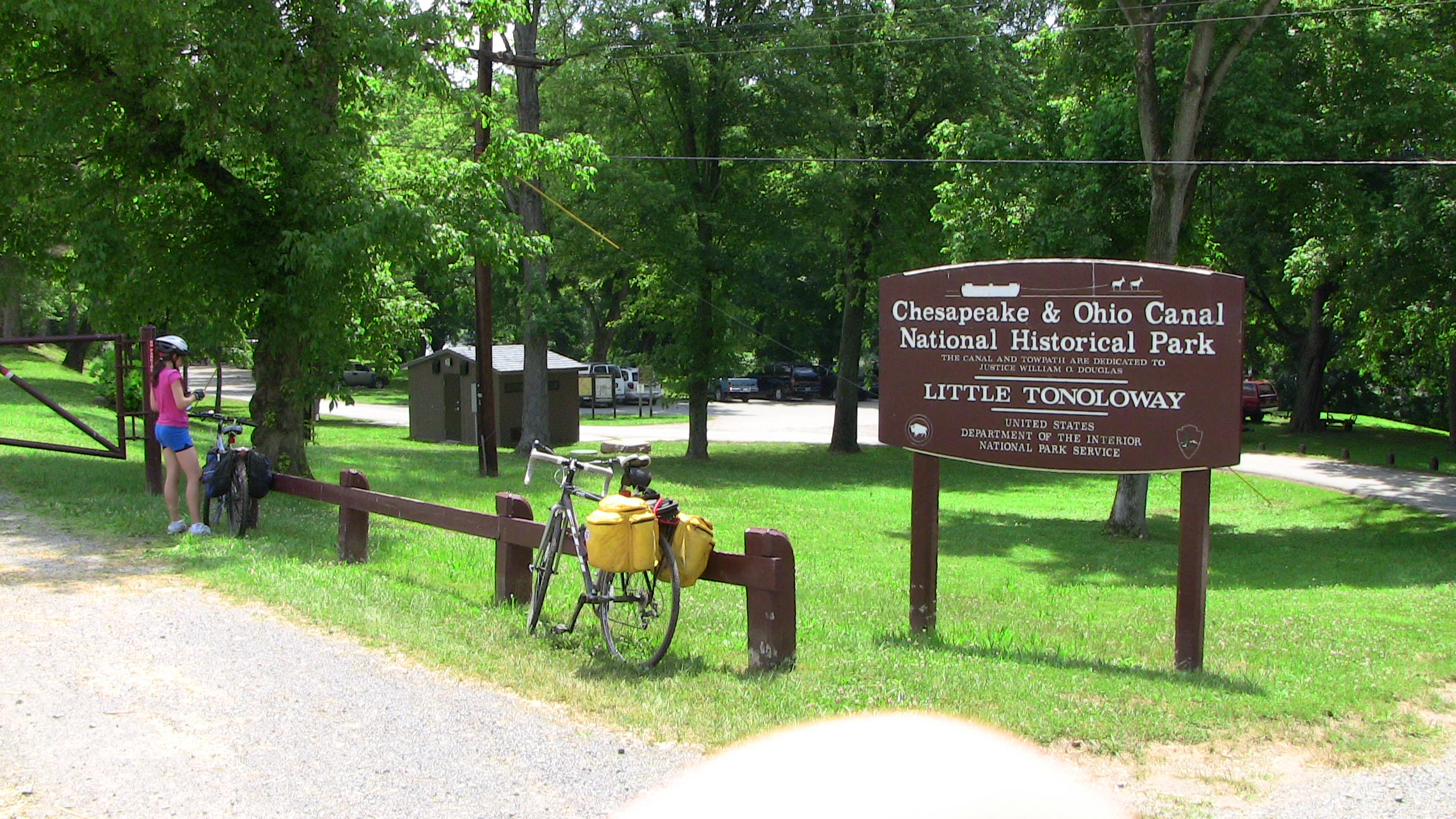
Horses are prohibited between Little Tonoloway (mile 124.5) and Paw Paw (mile 155) due to recent and ongoing towpath resurfacing. See more for details. Details
Straight from the US National Park Service, refreshed several times a day.
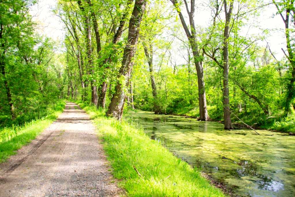
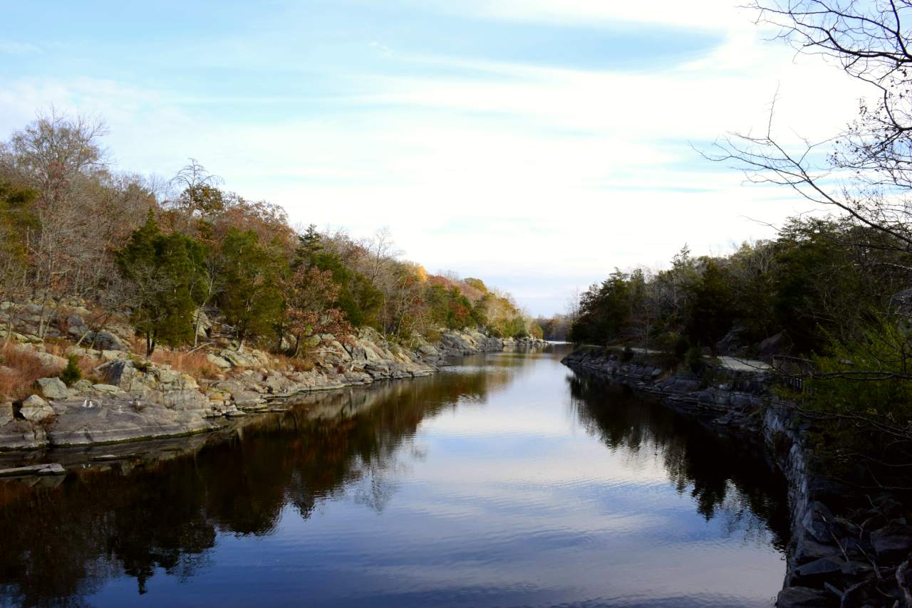
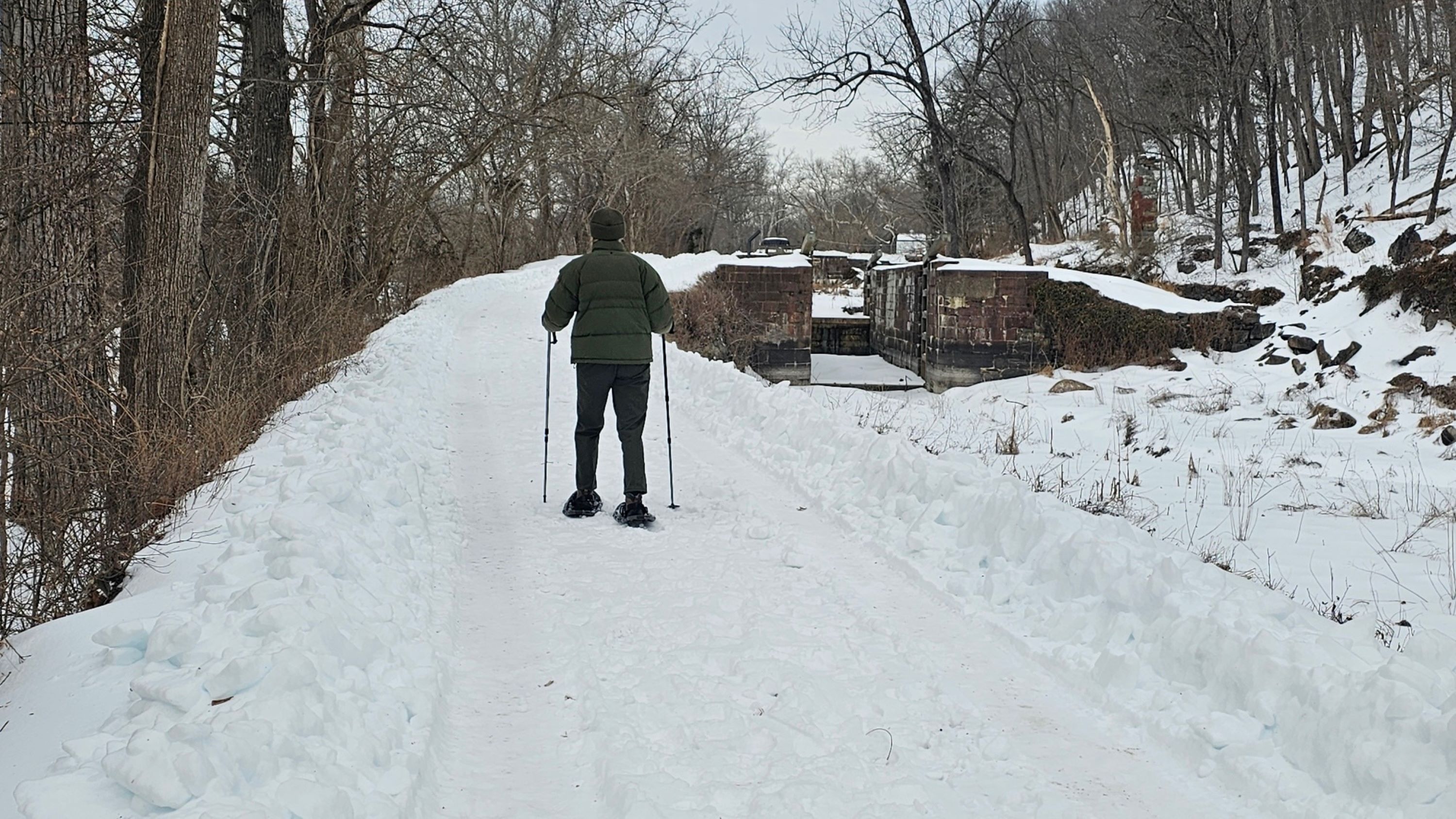
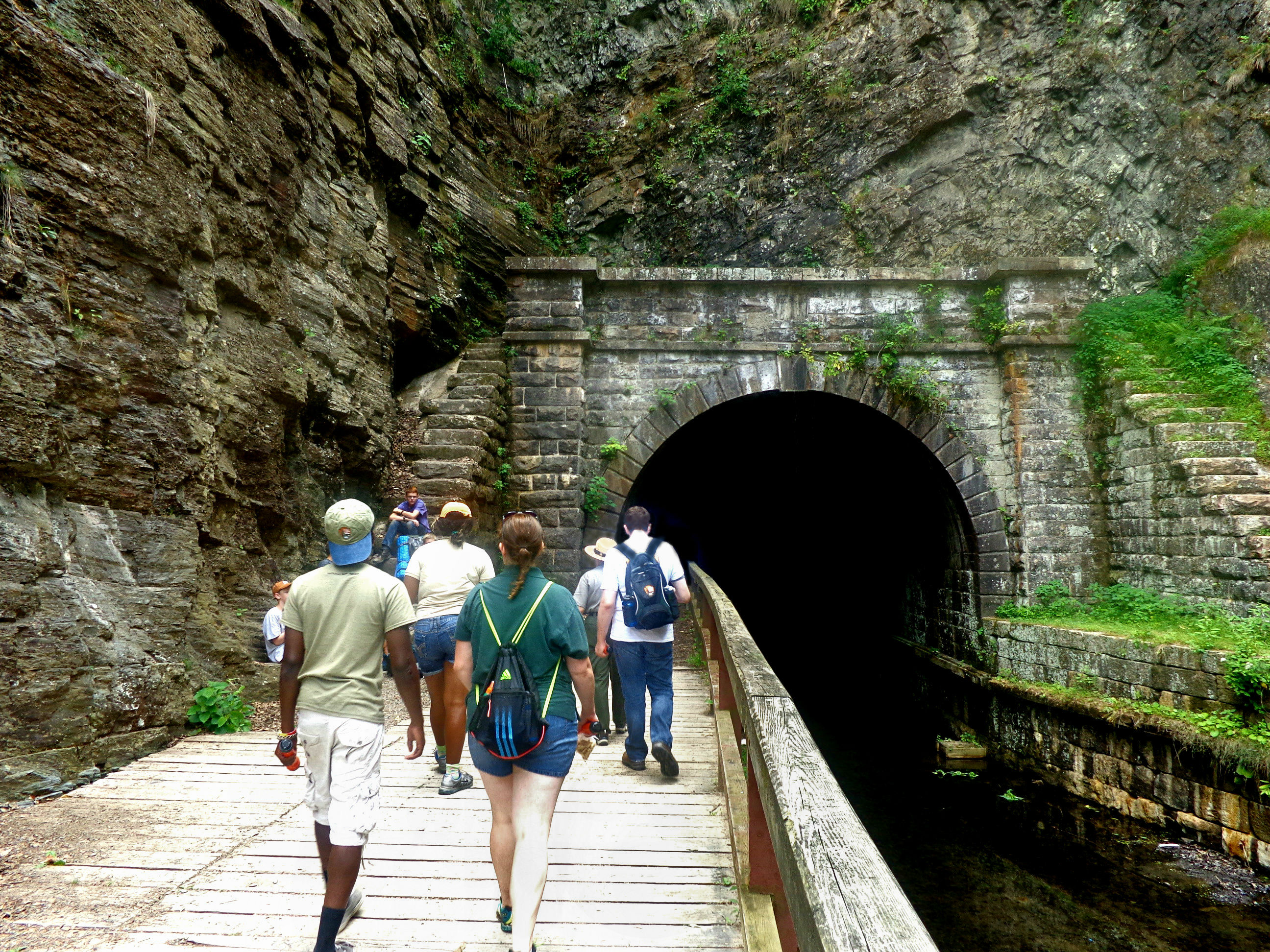
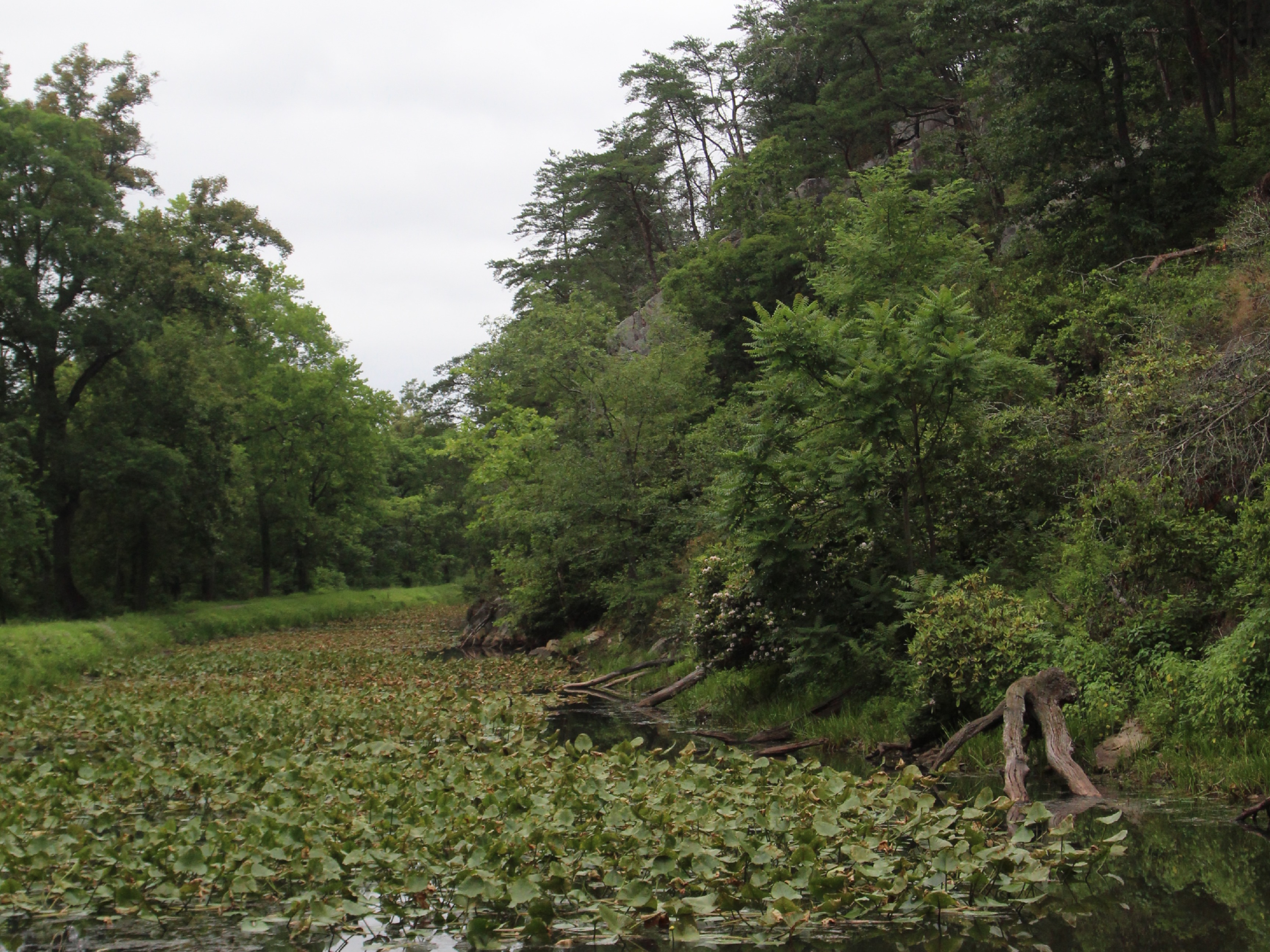
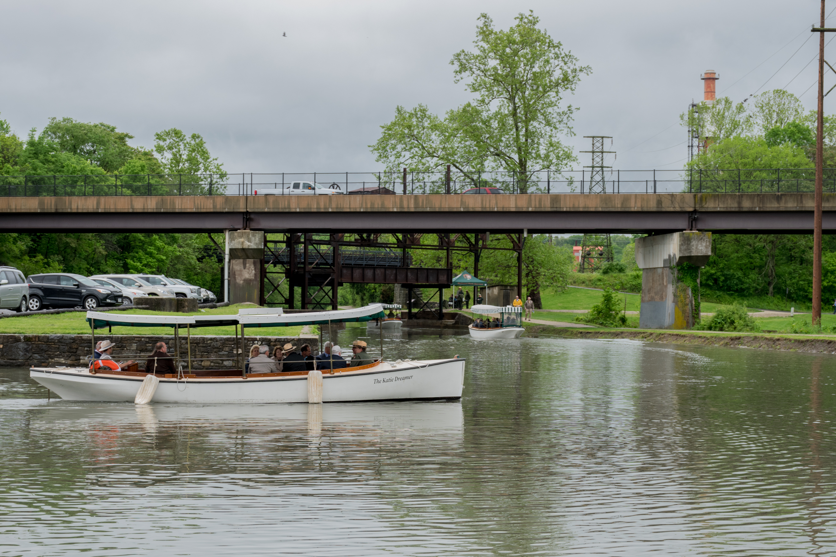
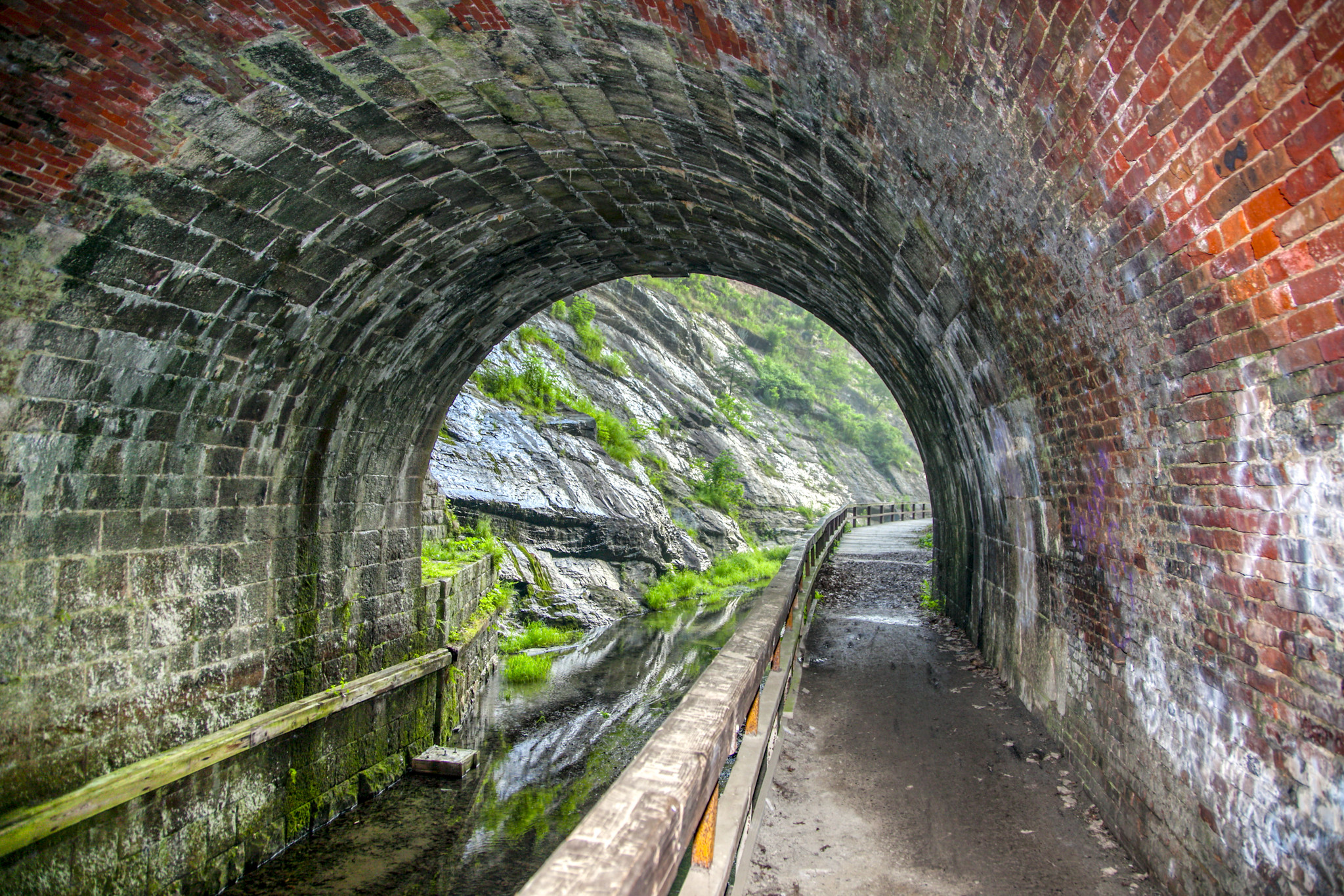
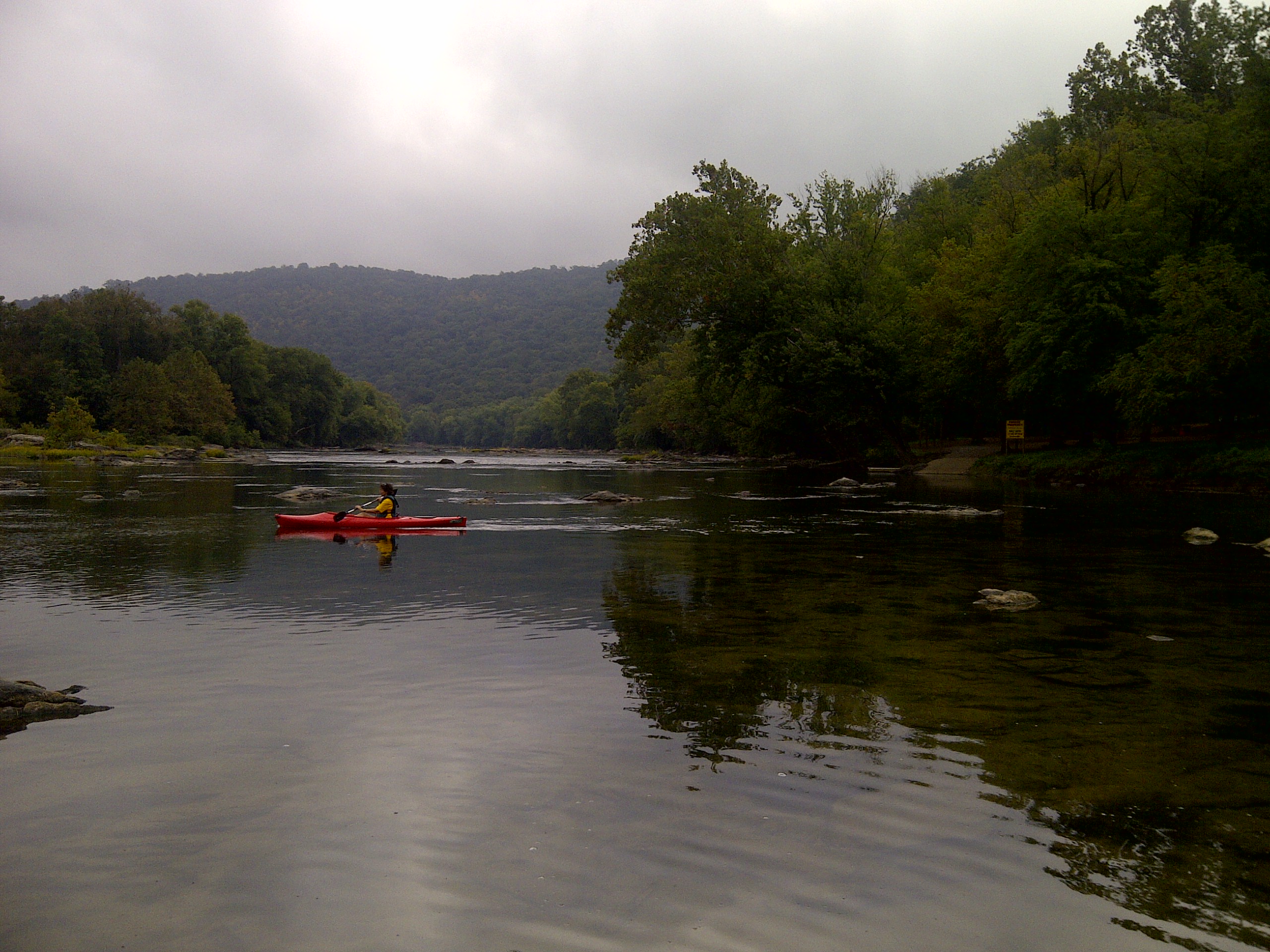
The Chesapeake & Ohio Canal National Historical Park stretches over 184.5 miles along the Potomac River, showcasing the history of the canal system that once played a vital role in transporting goods. Visitors come to explore its scenic trails, historic structures, and the remnants of the canal, which offer a glimpse into 19th-century transportation and commerce.
Read more
This park is not just about the landscape; it also serves as a reminder of the hard work and determination of those who built and operated the canal. The park provides opportunities for hiking, biking, and canoeing, allowing travelers to connect with nature while reflecting on the area's historical significance.
In pictures
Things to do
Practical
At a glance
- Established
- 1971
- Open
- Daily Sunrise to Sunset
- Price
- Per Person $10, Motorcycle $15, Private Vehicle $20
- Accessibility
- varied terrain, some areas accessible
- Opening hours
- Daily Sunrise to Sunset
- Phone
- 301-739-4200
- Price
- ~$10
- Website
- www.nps.gov
Things to know
Photo: NPS